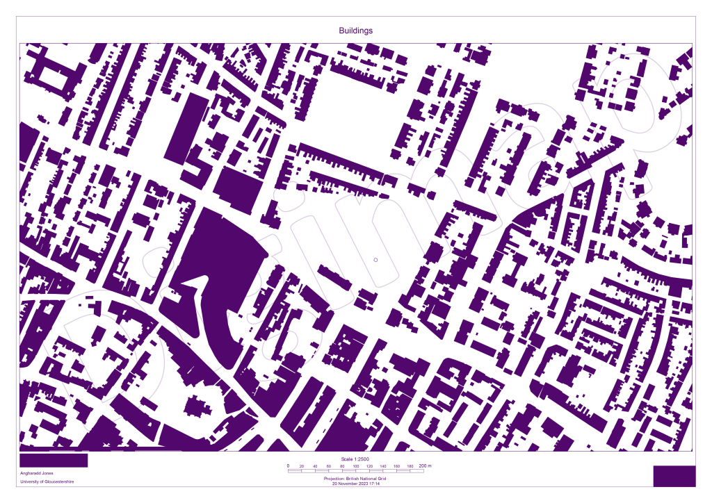
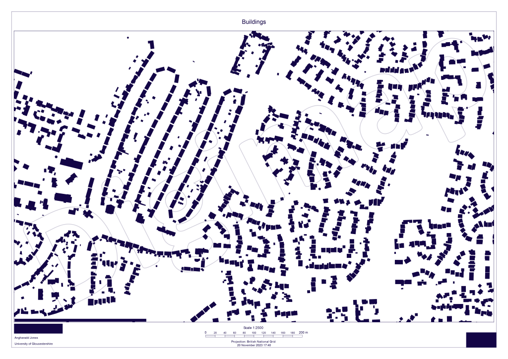
This week I have discovered, the Nolli map. These allow one to just look at the topographic and/or spatial structure of the city. One can easily compare structural sizes, positions and shapes. (1)
This removes the inert bias possibility’s from all the other content within a space, allowing one to just see the bare bones of a settlement.
When looking at the maps, one only see space and mass, a clear distinction between public and private space. These maps create a visual language in terms of spatial patterns that organize the places humans inhabit (2).
I have created 2 Nolli maps here, one of a site were are looking at for an assignment, and another picked for the spatial and pattern contrast.
On first inspection, I am not looking at where the location is, I am looking at the shapes and forms, the patterns and contrast (dare I say juxtaposition?) within. Playing with perspectives the white negative space could become the positive and creates a whole new image. From afar, the second image looks like bacteria colonies under a microscope.
These maps are said to be “the most underutilized tool in the designer/developer tool box” (2). Spaces and form create our movements through a space and so really important to understand from different perspectives to create better spaces going forward.
And they are certainly going to be part of my conceptual repertoire in the future, they definitely get the imagination and so creativity flowing.

Leave a comment